Neya Systems is pleased to announce the release of UxFleet. UxFleet provides enterprise-level fleet management capabilities for unmanned systems. With a suite of tools to allow for the integration of UAVs and UGVs into your agricultural, mining, construction, or general mapping application, UxFleet simplifies multi-UAV control, data acquisition, and data analytics.
UxFleet is an outgrowth of Neya’s DoD-funded Mission Planning and Management System effort. With the addition of custom machine learning development tools, cloud-based data processing, and a software developer’s kit for integration with a broad range of existing UAVs and UGV, UxFleet can be rapidly deployed in nearly any environment.

Applications include:
- Crop-management
- Mapping and site surveillance
- Surveying
- Construction and development of “as-built” surveys
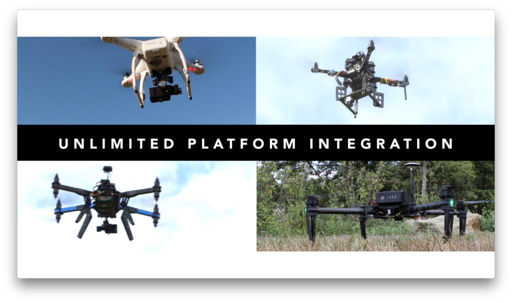
UxFleet can be integrated with a broad range of UAVs and UGVs. Adding support for new platforms is simplified with UxFleet’s behavior orchestration Software Developer’s Kit. Currently supported platforms include:
- The ASCTEC Pelican
- 3D Robotics X8-M
- DJI Phantom
- JAUS-Based Unmanned Ground Vehicles
In addition to supporting collaborative flight operations and data collection, UxFleet integrates with UxBuilder, Neya’s computer vision, and machine learning workbench. UxBuilder includes a suite of processing algorithms and data analysis capabilities, built around common open-source packages such as OpenCV and Point Cloud Library, in addition to including Neya’s custom machine learning algorithms.
UxFleet’s deployment model is based on a run-time license combined with custom integration services depending on the data you wish to collect. UxFleet can allow you to collect and build basic 3D map data, or generate changelogs showing how your site is changing over time.
When you are dealing with 100’s to 1000’s of acres, one UAV isn’t enough. UxFleet allows you to rapidly deploy a full fleet of UAVs to gather and process site data.


